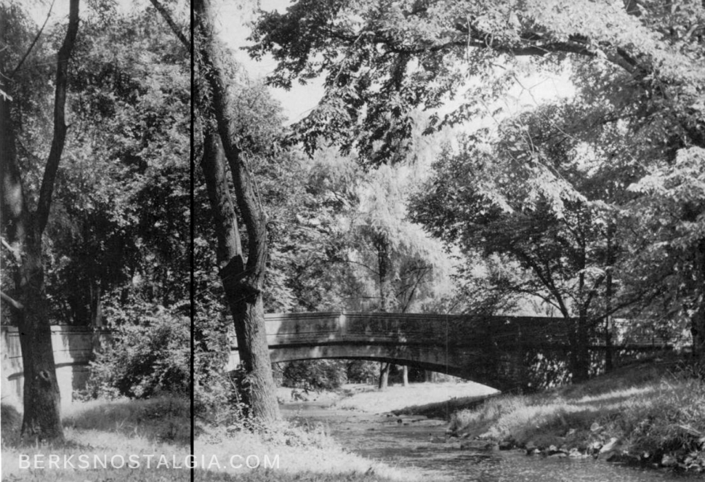
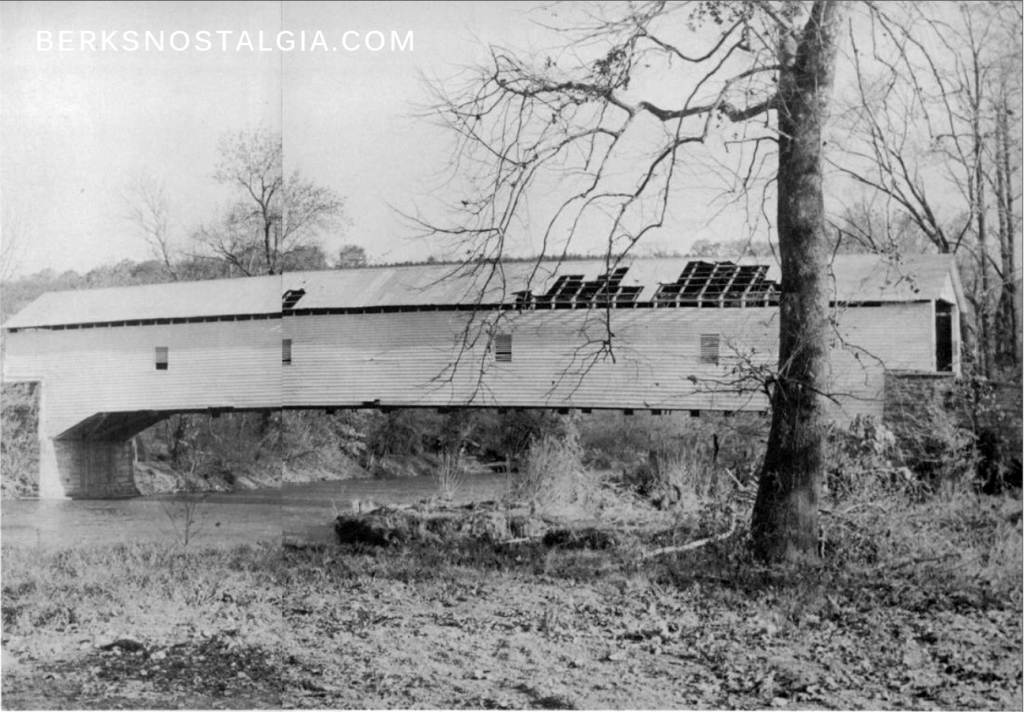
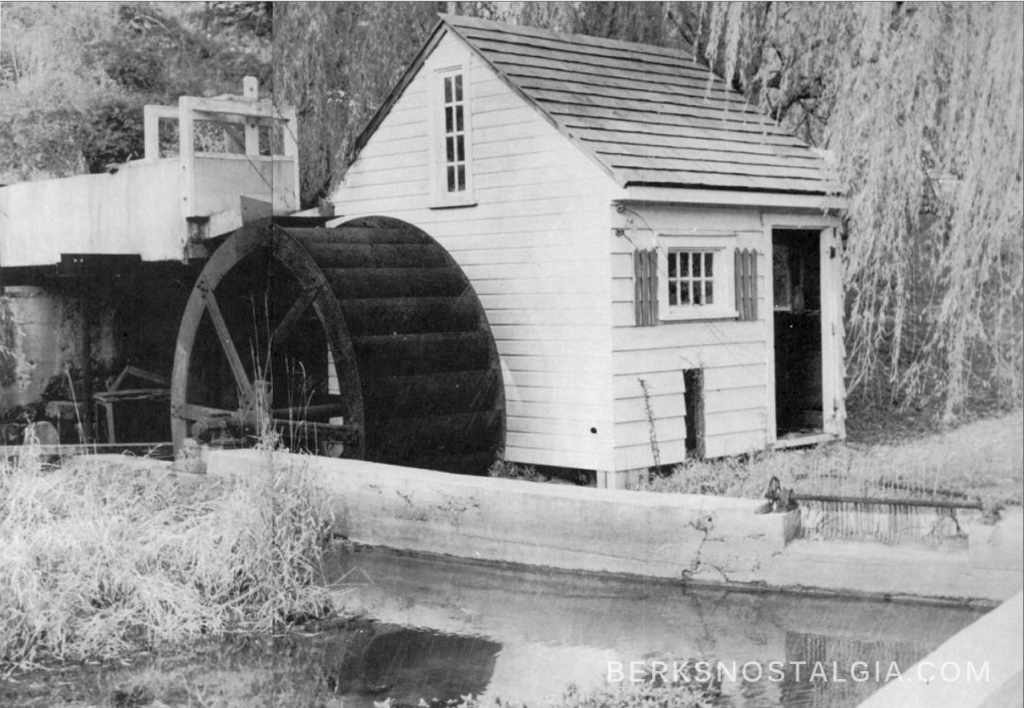
The following images were taken in 1957 and I believe them to be depicting around the then-countryside of Wyomissing Borough. The first image has been identified, but the remaining two are up in the air.
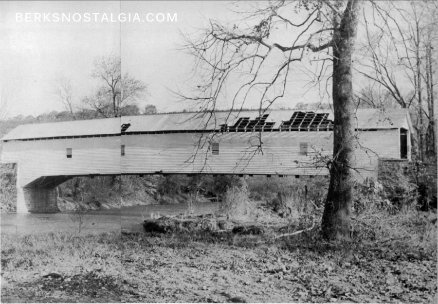
EDIT: The second image is now believed to be a covered bridge that sat in the area of the old Paper Mill on what is now Paper Mill Road and crossing the Tulpehocken Creek.
Ruth’s Bridge on Old Wyomissing Road

This image above is of the small bridge that crosses the Wyomissing Creek on Old Wyomissing Road. It is called “Ruth’s Bridge” and was constructed in 1910. The image above was taken at roughly this location.
Wyomissing’s Covered Bridge Mystery

The trusty Facebook followers of Berks Nostalgia have provided that it looks like the old covered bridge that sat at the end of Paper Mill Road next to the Paper Mill that crossed the Tulpehocken Creek. This is not in Wyomissing, but its relatively close and seems like a good fit. The bridge is long gone but the stone footings are still visible under brush and overgrowth. If you know any information about this bridge please comment below.
The covered bridge was located here, one can still see the old stone footings from street view or in person.
Wyomissing Mystery Lock

I am uncertain where the picture above is located as well. It appears to be a Lock or Mill, but there were never any mills or locks along the Wyomissing Creek. This is also likely from around the Tulpehocken Creek, perhaps from along the old towpath. If you know what the above image is of or where it was located, please leave a comment or emails us at [email protected]


The covered bridge looks like Van Reed or Papermill bridge over the Tulpehocken Creek
the bridge at the Van Reed Papermill, was tore down when a truck hauling roofing went through and fell through
RE; Ruth’s Bridge. From Wyomissing, the Old Wyomissing Road approaches the bridge going south and makes a right turn – 90 degrees onto the bridge over the Wyomissing Creek. You cross the bridge and make a 90 degree left turn back onto the road and continue on to Shillington. As you approach the bridge going south, instead of turning right to go across the bridge, you can go straight but on foot only, and there is a narrow path that takes you to Museum Road. Spent many pleasant afternoons near the bridge and the creek by the path in the early 1970s. I had a friend who lived on High Road. Beautiful mansion with a billiard room on the first floor.
I’m not sure, but the picture of the mill,if my memory serves me, looks somewhat like the one that sat below the dam breast at Kohl’s Mill. But that was many years ago.
Wyomissing’s Covered Bridge Mystery: “Reber’s Bridge”? http://www.berkshistory.org/newsite/wp-content/uploads/2014/04/bridges7.jpg
“Berks County, Tulpehocken Creek:
https://tinyurl.com/yah3sgwm (Reber’s Bridge junctions with Paper Mill Road)
Reber’s Bridge 1838-1951: https://bridgehunter.com/pa/berks/bh74908/ (Understand that my comments are a “best guess”.)
The bridge pictured is Van Reed or Papermill bridge. From what I remember , it was tracor trailer loaded with hay the broke through.