
This interactive map shows the points of each property taken and razed for the Blue Marsh Lake Project overlaid onto a 1958 Penn Pilot Aerial. Some points have yet to be identified; if you have information about an unknown property or would like to add info/photos to an identified property please get in touch and reference the Point #: [email protected]
Click here to read the relevant articles on this project


About This Map
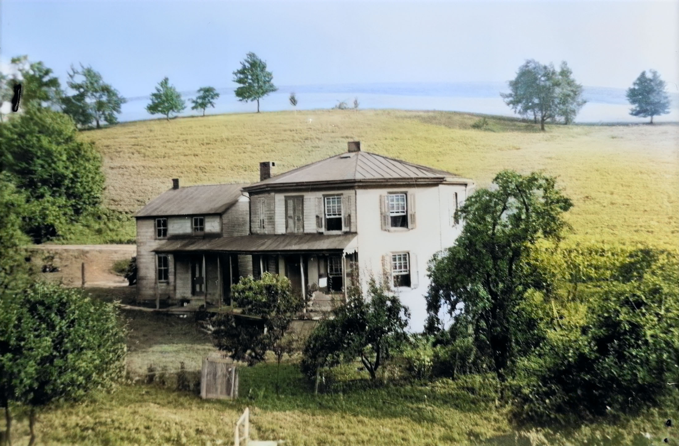
In the late-1960s, the United States government started surveying land along the watershed of the Tulpehocken creek, roughly 7 miles northwest of Reading, Pennsylvania. Around 200 properties were taken by eminent domain between the first acquisition in 1970 and completion of the project in 1980. These are the locations and history of the community that was destroyed to create Blue Marsh Lake.
This project began in the winter of 2023-2024. As Blue Marsh Lake is drawn down five feet between October and April, it served as the perfect time to explore the remains of some of the homes and farms that are otherwise covered by water and foliage. This project is ongoing indefinitely, so check back for updates. To read more about the history of Blue Marsh Lake, click here.