Category: Aerial
-
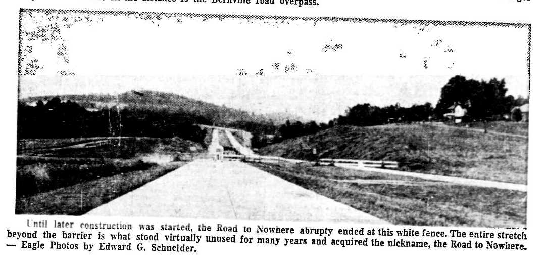
The Road to Nowhere
Read more: The Road to NowhereThe Road to Nowhere. If you are a native of Berks County you have likely heard the phrase. It was used to refer to a stretch of highway that quite literally dead ended. Slowly over the course of a few decades the road was extended to create a complete Route 222, which also interchanged with…
-
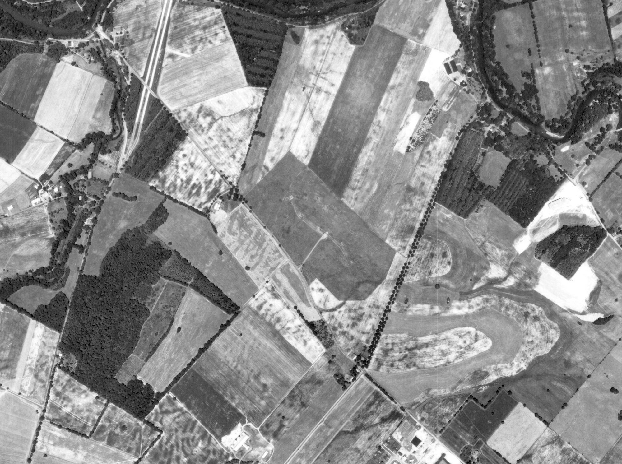
WEEU Broadcasting Towers
Read more: WEEU Broadcasting TowersBefore the shopping center called Broadcasting Square occupied the space between Broadcasting Road and Van Reed Road on Paper Mill Road, there was sprawling farm land a tall radio towers. The towers and land belonged to WEEU and were used to broadcast the AM radio station far and wide. WEEU Broadcasting Towers had their first…
-
5th Street – 1971 Then & Now
Read more: 5th Street – 1971 Then & NowBelow are Aerials shots from 1971, showing what Fifth street highway/Route 61/Kutztown Road looked like just north of the city. A few of the notable structures are the Reading Fairgrounds, Bellevue Diner, and Gethsemane Cemetery. The Warren Street Bypass was also noticeably not extended past 5th street at the time of this photo. Five years…
-
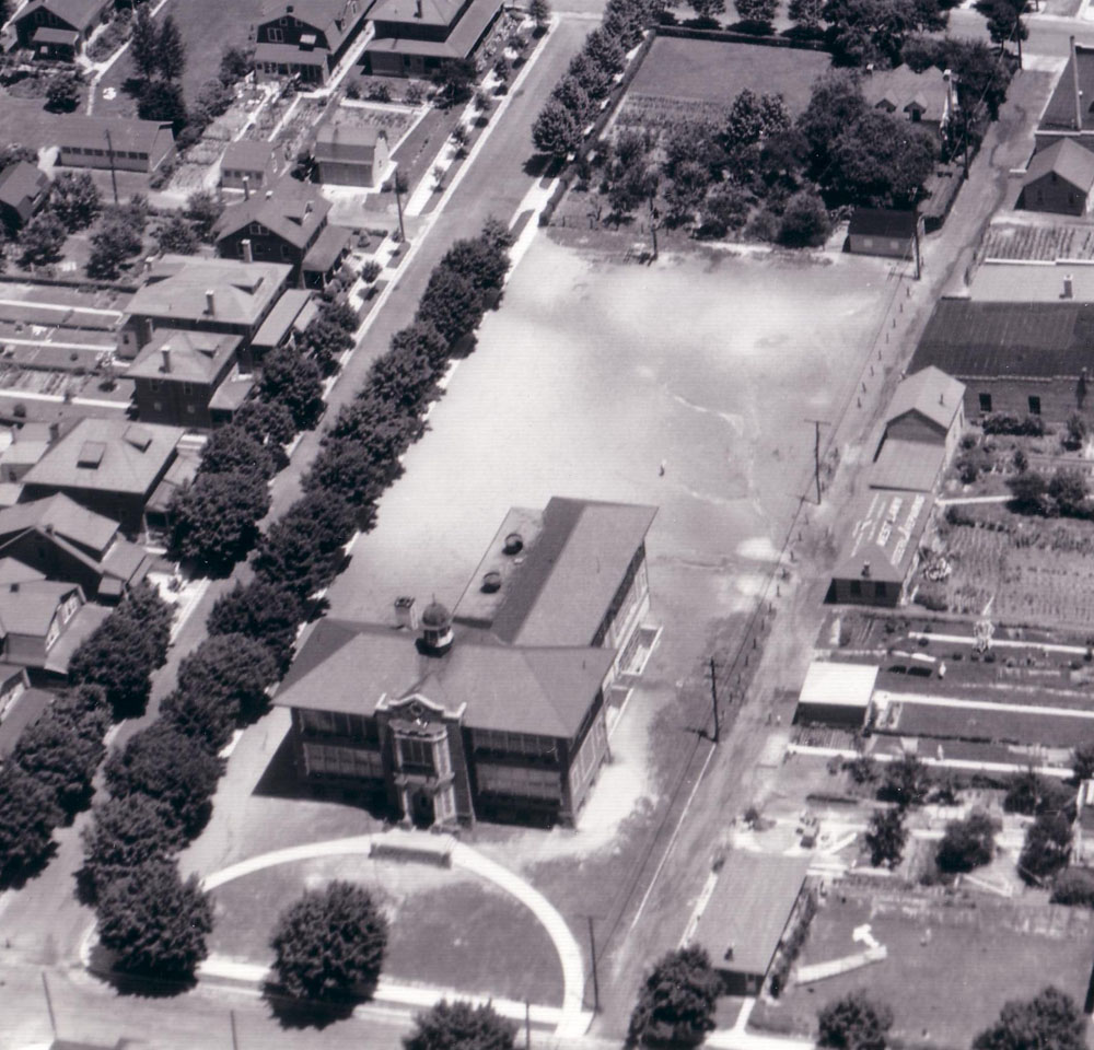
West Lawn Elementary School
Read more: West Lawn Elementary SchoolTake a look at how West Lawn and West Lawn Elementary School looked in 1932: The school looks like it was fairly new at the date of this photo, but I could not find an exact date of build. It sat at Riegel Ave and Nobel Street, a block in from Penn Ave. It functioned…
-
West Reading Then & Now
Read more: West Reading Then & NowBelow is an aerial photo of Penn Avenue and the surrounding streets in West Reading from 1932. A few notable structures are the then-brand new Buttonwood Street Bridge, West Reading Hotel, West Reading High School in it’s prime and many others.
-
Before 5th Street – North Reading – 1930s
Read more: Before 5th Street – North Reading – 1930sIn the late 1920s, people were expanding outwards from the city, into what is now Muhlenberg Township. According to this article, The petition to create the borough of Laureldale was made Feb. 29, 1929. Leading that effort was Frederick W. Shipe, a housing developer frustrated by the lack of side streets in the area (only…
-
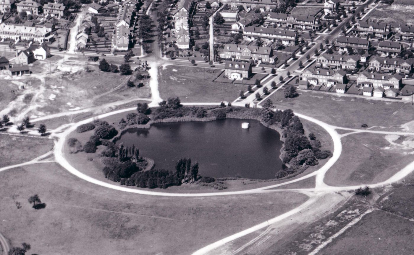
Weiser Lake – The “Mine Hole”
Read more: Weiser Lake – The “Mine Hole”Below are aerial photos of Weiser Lake aka the Mine Hole near Wyomissing/West Reading. The first was taken in 1932, when the Reading Hospital Building was brand new. Pictured in the distant right is the Berkshire Knitting Mills. Before the Hospital expanded there was a small lake that sat where the current 7th Avenue garage…
-
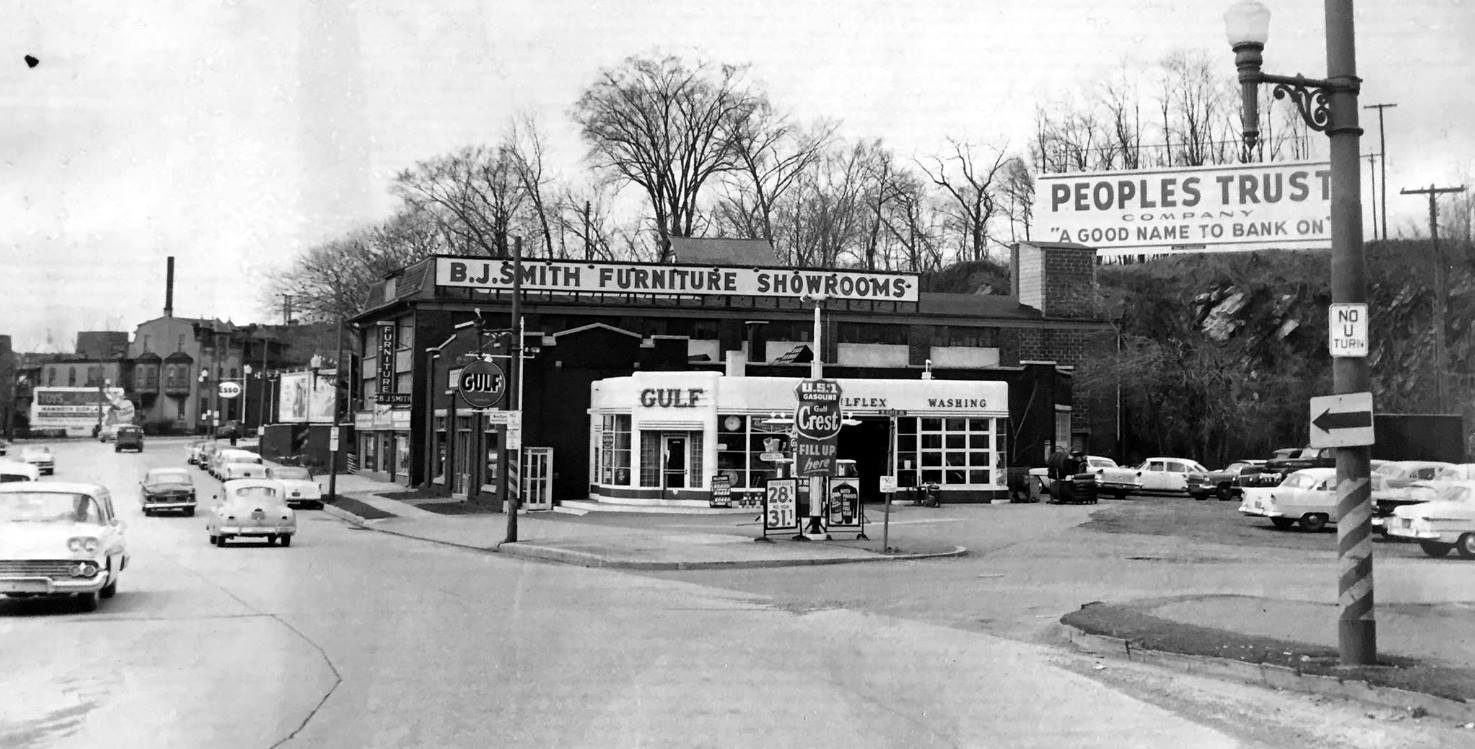
100 block Penn Ave: Before the Bypass
Read more: 100 block Penn Ave: Before the BypassWe all have driven on route 422…the stretch of highway that runs past Reading and along the Schuylkill River down to Pottstown. This stretch of road did not always exist. In fact it wasn’t until the 1960s that US 422 in the Reading area was rerouted from surface streets through downtown Reading onto bypasses built south…
-
Museum Road – 1927 & Today
Read more: Museum Road – 1927 & TodayBelow are aerial photos of Museum Road, looking toward West Reading. Pictured front and center is the Villa St. Elizabeth, “Home for the aged”. The Reading Public Museum can be seen further in the background, through some trees. Notice the then brand new Reading Hospital building in the top center. Most of Wyomissing was not…
